

Estado de Pistas
Previsión

3°
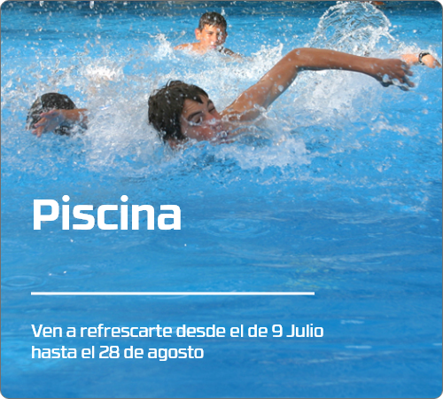
Calidad
Húmeda
Espesores
150-250
KM
75 Km
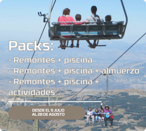
Remontes
Pistas
Generado el 4/8/2026 a las 4:27 PM
| Veleta | Borreguiles | Pradollano | |
|---|---|---|---|
 Temp. Temp. |
-1 | 3 | 7 |
 Visib. Visib. |
Total | Total | Parcial |
 Veloc. Veloc. |
70 | 60 | 30 |
Previsión de apertura
Pistas
88
Remontes
14
Km
75 Km
Aviso:
Previsión de apertura para el 9 de abril, si las condiciones meteorológicas lo permiten.
- Tc Borreguiles abierto hasta las 11 h.
- No esquiar fuera de pistas balizadas. ¡¡¡ Peligro hielo !!!.
- No está permitido el esquí de montaña en la pista El Río por motivos de seguridad.
Estado de Pistas
Previsión
3°
Calidad
Húmeda
Espesores
150-250
KM
75 Km
Remontes
Pistas
Generado el 4/8/2026 a las 4:27 PM
This ascent towards the Veleta peak (3,396 m), the second highest peak of the Sierra Nevada, allows you to enjoy spectacular views of the main peaks of the Sierra Nevada and the Mediterranean Sea, as well as some mountain massifs of the provinces of Granada and Jaén, which are part of other protected natural areas. Along its more than 4 kilometers of average slope of 8%, we can see vestiges of the Spanish Civil War, such as the well-known "Positions of the Veleta" (3,100 m) and botanical endemisms exclusive to the Sierra Nevada such as the Manzanilla de Sierra Nevada or Manzanilla Real (Artemisia granatensis). Once the climb to the summit is complete, the imposing Corral del Veleta emerges, a dizzying cut with more than 200 meters of fall, on its North face, in which you can see a mass of fossil ice, as a legacy of what happened in the "Little Ice Age".
* Minimum 4 people to make the route
Plot length: 4,385 m.
Life duration 2h. 20min.
Output Dimension: 3,028 m.
Elevation 375 m.
Degree of difficulty: Medium


and get all the news from the station in your mail
